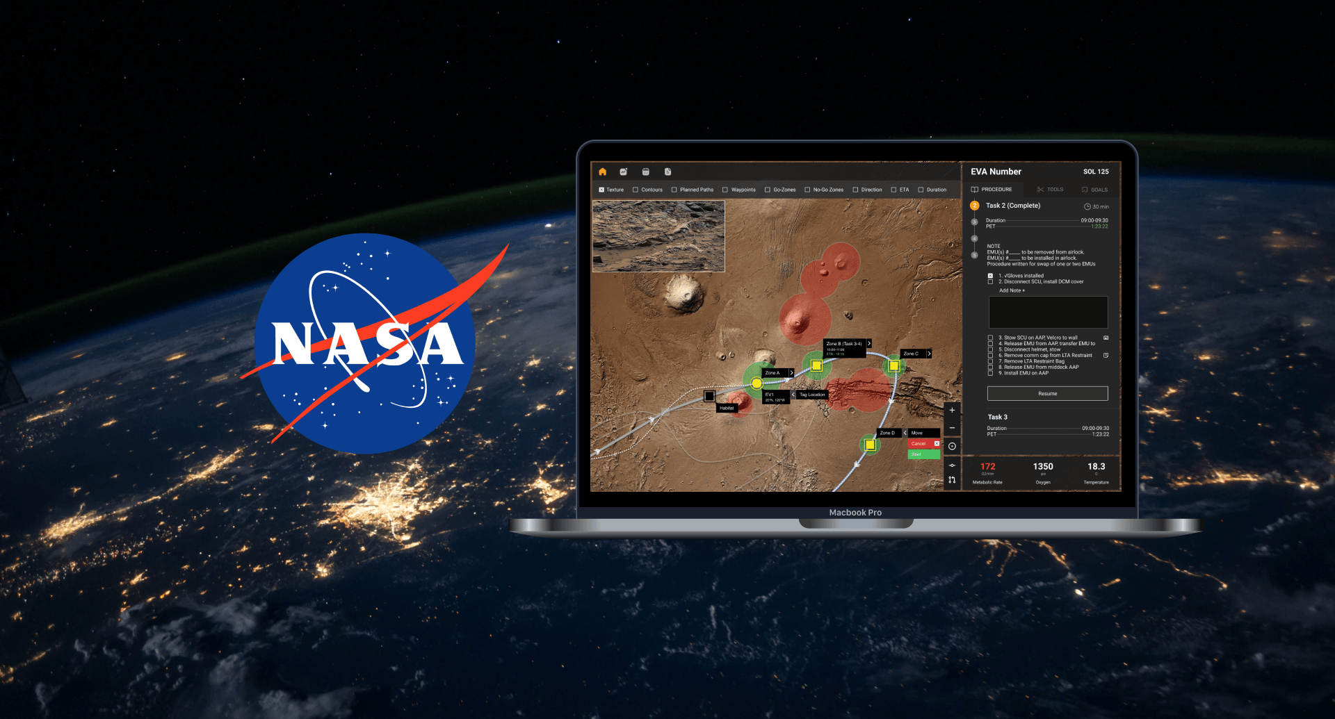
The Problem
What's the current situation?
Astronauts on the International Space Station carry out Extravehicular Activities (EVA), or commonly known as spacewalks, with real-time support of 50-100 people in Mission Control on Earth.
Houston, we have a problem.
The MCC consists of hundreds of flight controllers, aerospace engineers and scientists making sure that all operations are going as planned. They monitor telemetry data, send commands to the crew, and walk them through the procedures they need to perform in real time.
Giving astronauts more control.
But as we explore deep space missions such as landing on Mars, the communication delay between MCC and Astronauts will be around 8-40 minutes. This means we need to make astronauts more autonomous.
We identified this problem space after rigourous discussions over months with our advisors, and found that this is a known Human Research Roadmap Gap at NASA, meaning that our work could be very impactful in finding answers to these burning questions for future NASA space missions.
How can geospatial interfaces promote procedure flexibility for future surface EVA operations?
Tackling the Problem
In the research phase, we conducted an extensive literature review of 30 journal papers, subject matter expert interviews, and a participatory design activity. To get a hollistic perspective of the problem space, we interviewed a lot of different roles within this domain:
- Astronaut (1)
- UX Designers (10)
- Mission Planners & Designers (2)
- Research Scientists/Geologists (4)
- EVA Flight Controllers & Instructors (2)
- EVA Operations Specialists (2)
Research
We synthesized all of our research data in the form of an affinity map, which helped us generate higher order themes and insights into this problem space.
There is a need for continuous replanning.
Planning and execution cannot be separated, any EVA execution tool must support continuous replanning during the mission. This continuous replanning is one way support tools can introduce flexibility to operations.
We need to communicate flexibility visually.
Future exploration EVA management tools will need to communicate flexibility visually through zones of interest based on consumable constraints and mission goals.
Mission priorities can be changed at anytime.
Future exploration procedures will need to communicate high level goals with flexible low level steps that can be deviated from based on changing mission priorities.
Design
To get the ball rolling, we wanted to invest some time in collaborative brainstorming. We decided to conduct a co-design activity with UX designers who work on navigational interfaces for companies such as Google Maps, Amazon Delivery, UPS, Fedex et cetera.
I took the lead on the design of the co-design activity, recruiting participants for it, and running ten 60-minute sessions. This helped us get early design ideas from relevant experts.
Since the sessions were designed to understand how to visually communicate flexibility, we saw three major themes:
- Highlight dynamic go/no-go zones based on user's changing constraints
- Visualize the impacts of every point/destination being added to a route.
- Represent a flexible timeline that can be moved around based on sudden changes.
Next Steps
More coming soon!

